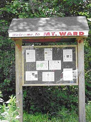
Mount Ward Conservation Land
Welcome to "Mount Woods"
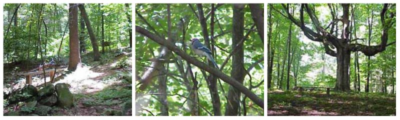
Mt. Ward is one of the many hills here in Marlborough. The trail that passes over and around it follows old cart paths as well as recently constructed trails. The hike covers a change in elevation of 110 vertical feet over 1000 horizontal feet. At the top of the hill is a massive Maple tree. This tree is estimated to be over 100 years old and spreads its branches over a very large area. There are all sorts of wildlife that have been spotted here like the white tailed dear and several types of woodpeckers. You can sit on one of the many benches that are located along the trail and relax in the serene surroundings.
In the past two centuries, this area has seen many changes. Once farmland, this parcel has been given over to forest again. The many stone walls that run across this property are evidence of the agricultural history of this area.
Trail Map: Mount Ward Conservation Land Trail Map
Recreational Opportunities: Hiking, walking trails, jogging, and picnicking.
Hours: Dawn to dusk.
Prohibited Activities: Hunting, motorized vehicles, fires, littering, cutting or removing of trees or plants, camping, and swimming.
Directions: Access to Mt. Ward is located at the end of Langelier Lane. Take Rt. 20 East, turn left onto Wilson Street, take a right onto Hemenway Street, Langelier Lane is the first right off of Hemenway Street. The trail head is at the end of Langelier Lane.