
GIS Mapping
(Geographic Information System)
About
CLICK HERE TO ACCESS OUR ARCGIS ONLINE RESOURCES
The City of Marlborough maintains a Geographic Information System (GIS) that is used to meet the needs of it's departments, boards, committees, professionals and citizens. We are continually working on creating, updating and maintaining spatial databases to deliver the most accurate and reliable data possible. We are committed to expanding the information available to the public in a simple and economical approach.
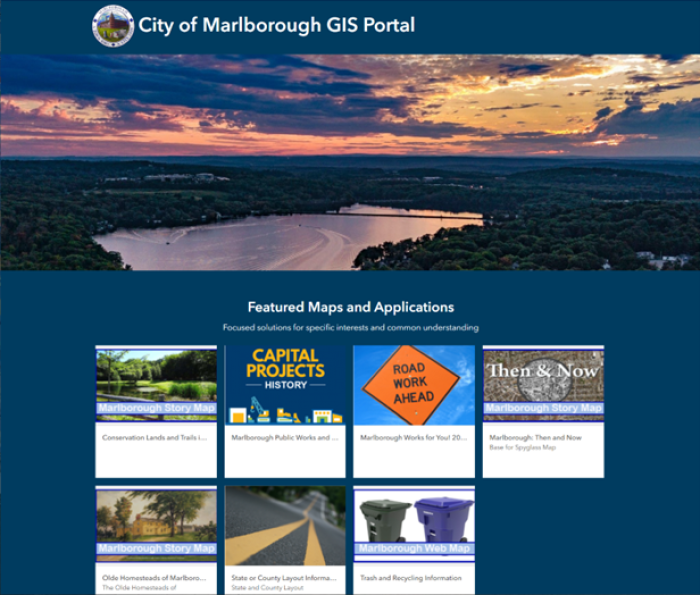
Our GIS database is currently utilized by several online mapping applications, including the Assessor's Online AxisGIS Database and the City of Marlborough's new ArcGIS Online Interative Map Gallery.
Staff Contacts
Name | Title | Phone |
|---|---|---|
GIS Administrator | (508) 624-6910 ext. 33107 |